Where can I download Fat Tail?
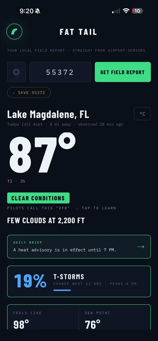
Right now. Fat Tail is live on the App Store for iOS, free. Android is on the roadmap because free weather should reach everyone. Download it here.
Does Fat Tail have widgets?
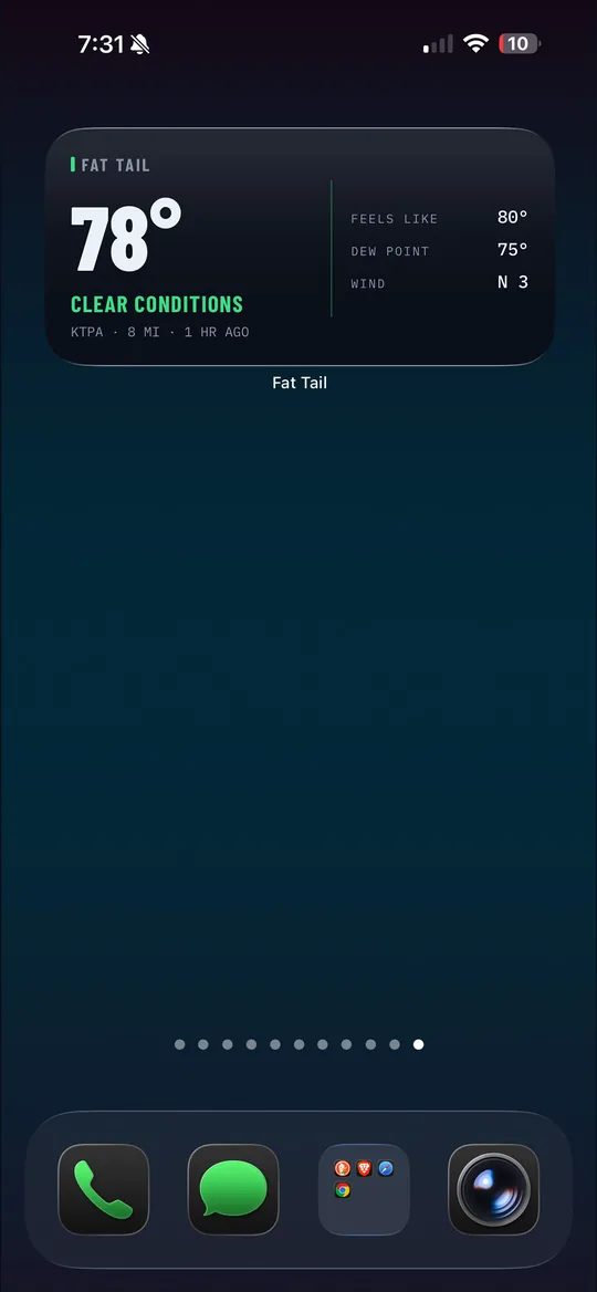
Yes, as of 1.0.4. Home screen widgets in small and medium sizes show the measured temperature, conditions, and your station, colored by the aviation flight category, green when it's clear, red when it's rough. The widget fetches its own reading, so it stays current even when the app hasn't been opened. Long-press your home screen, tap the plus, and search Fat Tail.
Why is it free? What's the catch?
There isn't one, and honestly the question says a lot about where we've ended up. NOAA and the National Weather Service collect this data with public money. You already paid for it once. Charging you a second time to look at your own sky is a business model, not a service. Fat Tail delivers it well and gets out of the way: no accounts, no tracking, no paywalled features, no "upgrade to see the radar." Weather should be free. Walk outside, or check Fat Tail.
What is a METAR?
A METAR is the standardized weather report that airports transmit, temperature, wind, visibility, pressure, and cloud layers, measured by calibrated sensors and updated at least hourly (and immediately when conditions change fast). It's the data pilots check before every flight. Fat Tail decodes it into plain English, and lets you tap any part of the raw code to learn what it means. Full guide to reading a METAR →
How is this different from other weather apps?
Most weather apps show a model's estimate interpolated for your location. Fat Tail shows measurements from a physical instrument at a nearby airport. You see which station it came from, how far away it is, and how fresh the reading is. When it's raining, Fat Tail says so, because a sensor a few miles away is getting wet.
Why airport sensors instead of a station in my backyard?
Airport instruments are professionally installed, continuously calibrated, and maintained to aviation standards, lives depend on them being right. Backyard stations are fun but wildly inconsistent (a thermometer above a driveway reads hot). Fat Tail always shows the distance to your station, so you know exactly where the truth is coming from. Why airport sensors →
What does "40% chance of rain" actually mean?
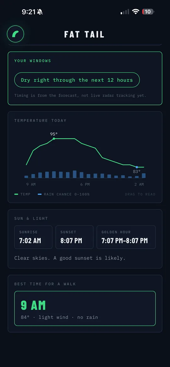
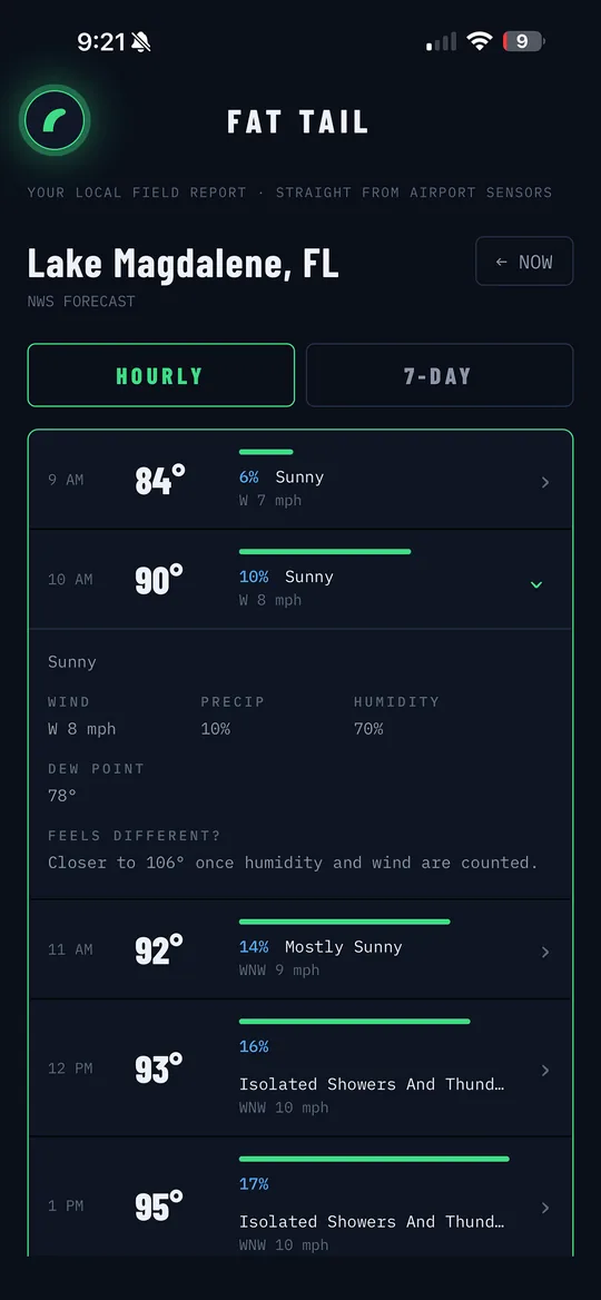
It's confidence times coverage, roughly, the odds that measurable rain falls at any given point in the area during the period. In a Florida summer it usually means scattered storms will pop somewhere; your spot has about a 40% shot of being under one. Fat Tail shows the forecast probability and the measured reality side by side, and when the station reports rain, the measurement wins the screen. More on rain probability →
What's a "special report" (SPECI)?
Stations normally report hourly, but when conditions change fast enough (a storm hits, visibility drops, wind shifts hard), they transmit an unscheduled special report. Fat Tail flags these the moment they appear. It's a built-in "something is happening right now" signal that model-based apps simply don't have. Watches vs. warnings →
Why does falling pressure matter?
Falling pressure means the atmosphere over your station is changing, often the first measurable hint of weather organizing, before radar shows a thing. Fat Tail tracks each station's three-hour pressure trend and warns you when it's falling fast. The number matters less than the direction. How to read a pressure trend →
Does Fat Tail collect my data?
No. No accounts, no analytics, no servers of ours watching you. Your location is used on your device to find nearby stations and is never stored, shared, or sold. The App Store privacy label reads "Data Not Collected", because there's nothing to collect.
Where does the data come from?
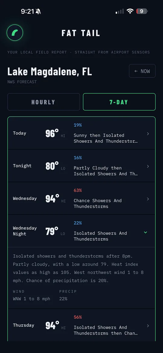
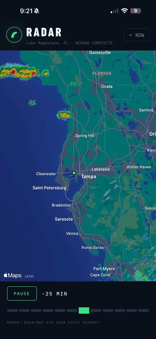
Observations come from NOAA's Aviation Weather Center (the METAR network). Forecasts come from the National Weather Service's National Blend of Models, the multi-model blend NWS forecasters themselves start from. Radar imagery is NOAA NEXRAD served via Iowa State Mesonet. All public, all taxpayer-funded, all straight from the source.
Does it work outside the United States?
METAR stations exist worldwide, so observations work in most countries. Forecasts and radar currently use US sources (NWS and NEXRAD), so international coverage is observations-first for now.
Why "Fat Tail"?
It's a statistics term: a fat-tailed distribution is one where extreme events happen more often than averages predict. That's weather, most days are ordinary, but the days that matter are the outliers. Fat Tail is built for those days: real measurements, because when the rare stuff happens, you don't want a smoothed-out guess.